


An ode to the violent peace of lake effect snow
Something about it will always enrapture me

Editor’s Note: This post was written in response to the November lake effect storm in Buffalo. A subsequent storm just before Christmas was truly a devastating event for that region, and it will merit an updated future post.
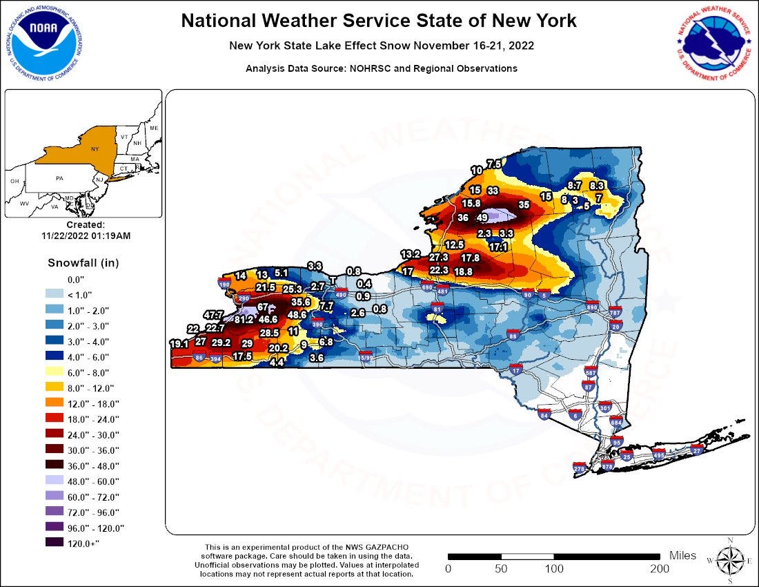
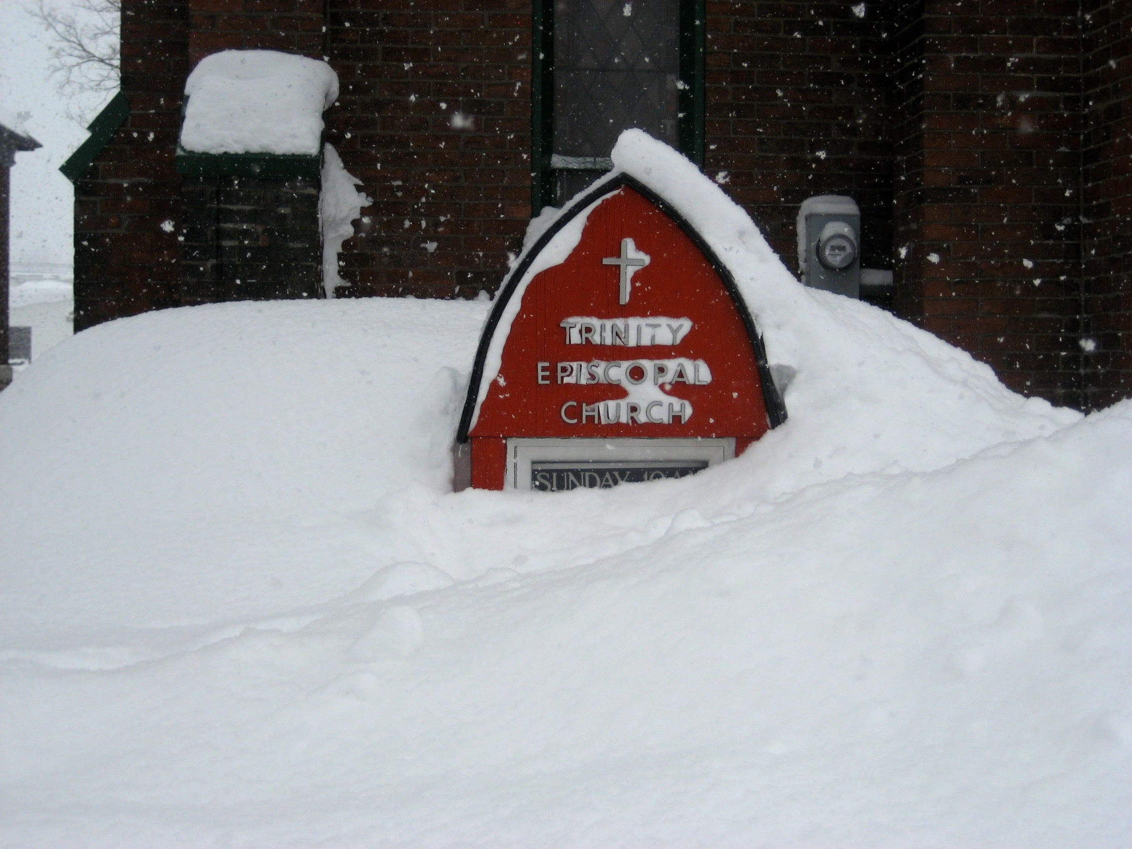
A few weeks back, Buffalo was in the news, as it occasionally is during winter for having a snowstorm, driven by lake effect snow. Over 80 inches of snow fell just south of the city in just a few days.
For those of you that don’t know me too well beyond my time in Houston, my first two jobs out of college were working as a broadcast meteorologist in Upstate New York. I spent about 9 months in Syracuse, working part time at WSYR (then WIXT) television, which had its own Doppler Radar! While I really enjoyed working there, in the best interest of my career, I accepted a full time job at WKTV down the road in Utica, NY, where I stayed for almost five years. Yes, there are videos. No, there really aren’t any epic bloopers.

When I moved to Central New York, or CNY as I came to know it, I knew how lake effect snow worked at a high level, and I figured as a forecaster, it would be something I could grow used to. As it turns out, forecasting lake effect snow is exceptionally difficult. It was even harder in the mid-2000s, without the use of some of the higher resolution weather modeling we have available today. Yes, you need to have cold air moving over a warm body of water (in this case the Great Lakes) to produce precipitation. But how warm is that water relative to the air? So much of how lake effect snow turns out depends on wind direction. But then you have to make sure the wind is not too strong, lest you have what we call “speed shear,” which can just “spray” snow off the lakes rather than organizing a band of snow. Going further into the weeds, you have to determine if there’s any upstream “connection” to another lake. For example, does moisture from Lake Huron or Georgian Bay feed Lake Ontario? What if a disturbance in the upper atmosphere sneaks through? All of these things can literally make a 10 or 20 inch difference in snow totals and thus impacts.
I’ll never forget one of my early lake effect tests in Utica. I was very confident that the band placement would end up over the Mohawk Valley and the New York Thruway, which would have easily meant 12 to 18 inches of snow and significant impacts to the city of Utica and smaller population centers. Winds organized the band about 5 to 10 miles too far north, and we ended up with maybe 3 inches of snow. It was a rude awakening and also a lesson in being overconfident in a forecast.
Perhaps I have had the benefit of time away from that part of the world to develop a more romanticized view of lake effect snow, but the difficulty in forecasting the outcome is dwarfed in my view today by its majesty.
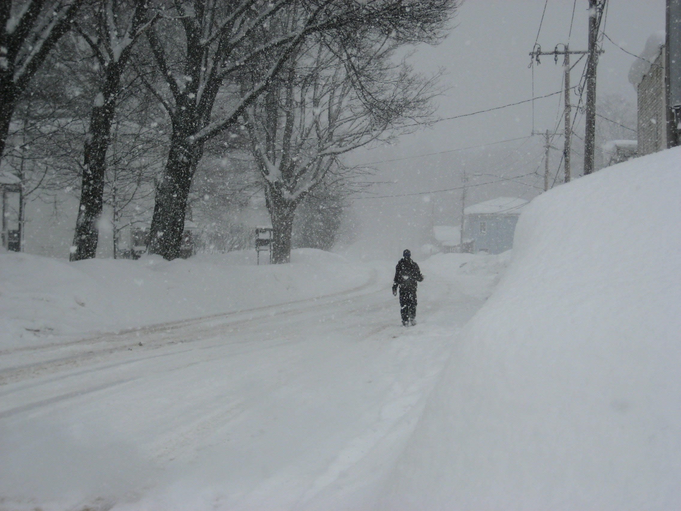
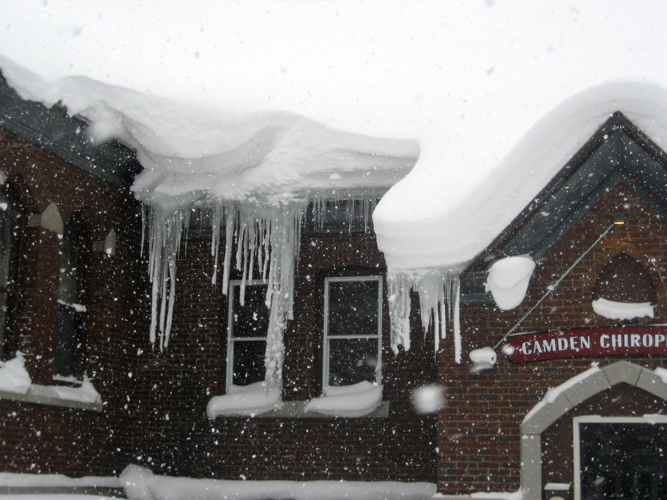
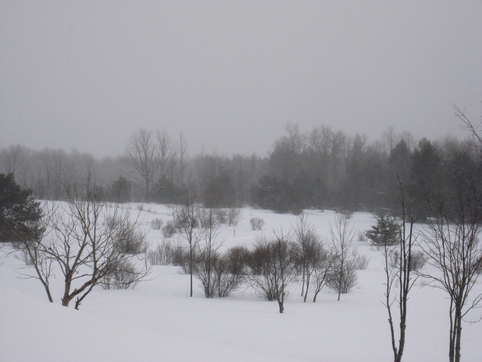
Lake effect snow is not like the snow you see in most populous parts of the country. It comes fast and furious, and it aligns on a gradient based on the wind direction, such that one location can see feet and feet of snow, while places no more than 5 to 10 miles away can get just a few inches. I was always fascinated, if not mesmerized by lake effect snow bands. I grew up on the “wrong” side of the rain versus snow line in southeastern New Jersey, where the nearby warmer Atlantic Ocean waters often deprived me of snow as a child. To go from that to a blitz of lake effect sometimes felt surreal. I spent five winters making up for 22 previously erratic ones.

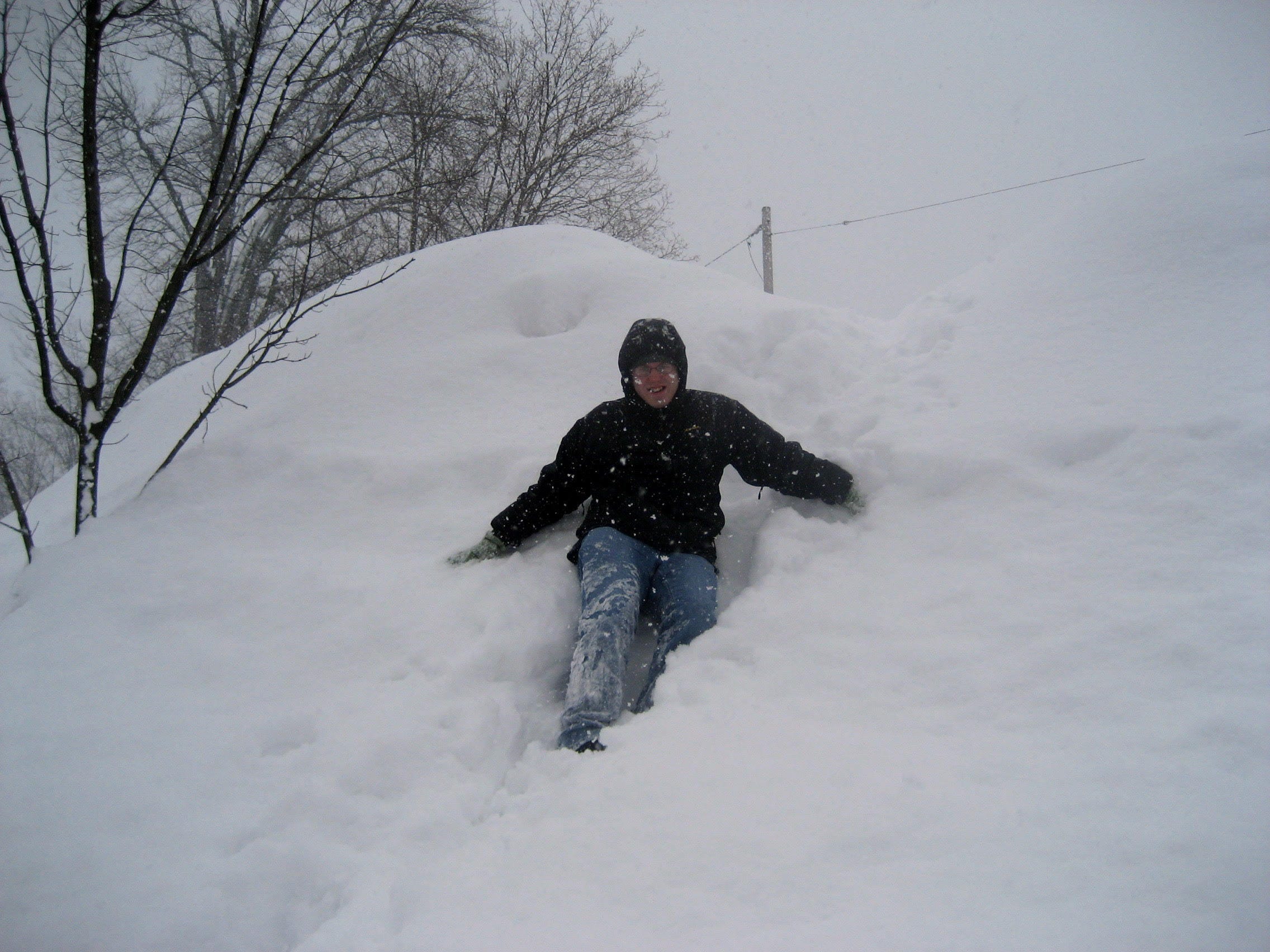
Lake effect snow is also of a very fine consistency. It’s fluff. Building a snowman is difficult to impossible, but it’s snow as snow should be. In meteorology, we say that the snow to liquid ratio is typically 10 to 1; in other words, 10 inches of snow contains one inch of water when melted. Lake effect snow breaks that rule. Ratios during lake effect events are often 20, 30, or 40 to 1, which means that while it adds up quickly, it also compacts a good bit too. A place that measures 50 inches of snow over a couple days may only end up with 25 to 30 inches on the ground after a day or two of settling. Some snow purists liked to derisively call it “fake” effect snow for that reason, which always amused me.

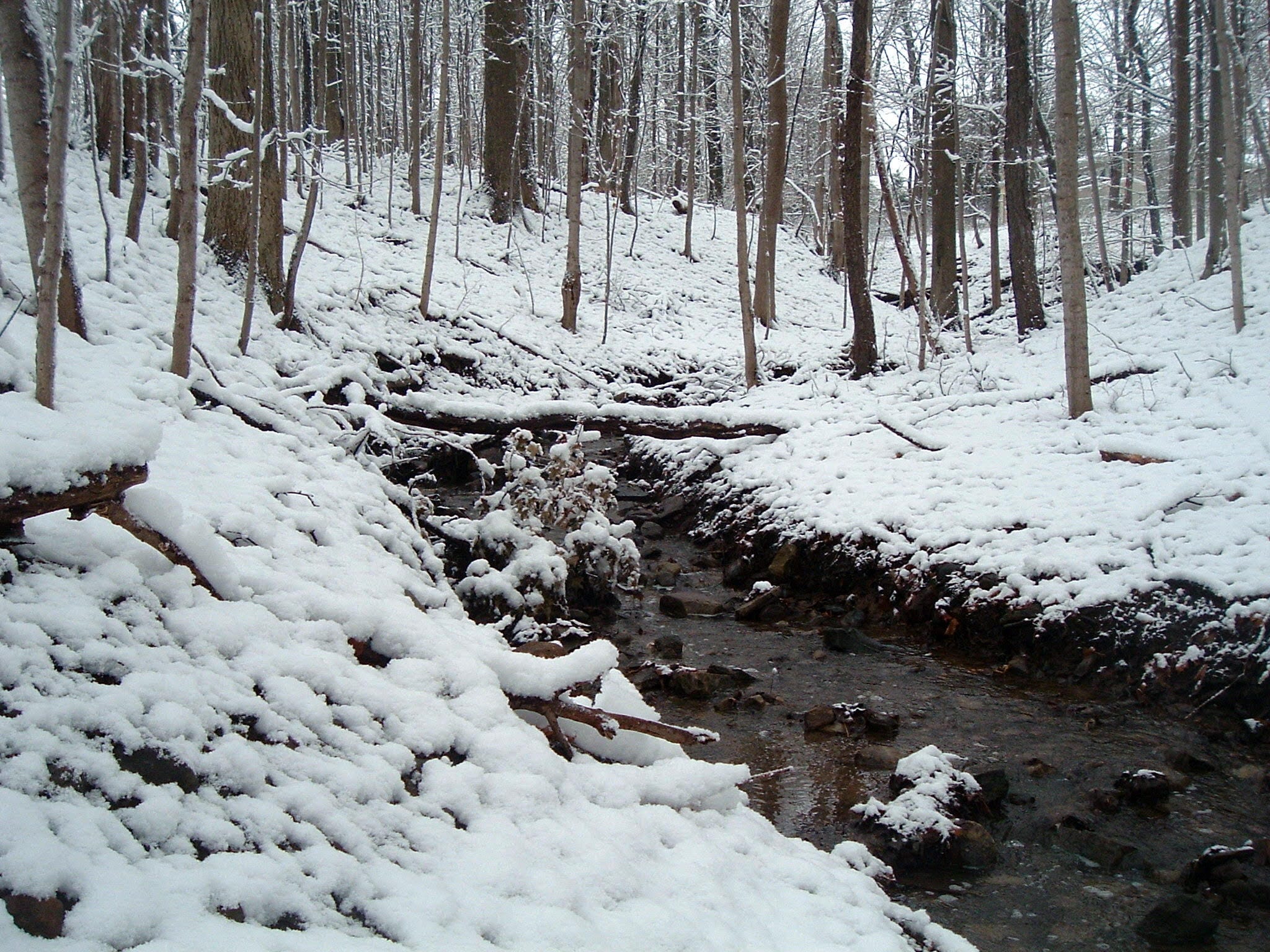
Maybe that’s what draws me to lake effect. It falls with such intensity and violence, yet it’s such a gentle, graceful part of the landscape when it finishes. It’s a paradox.
My favorite lake effect event unfolded over many days in February of 2007, when some parts of the Tug Hill Plateau received 140 inches of snow. The Tug Hill is a snow magnet. It’s also a geographic curiosity, with an elevation gain of about 1,700 feet from near Lake Ontario inland into Lewis County, NY. From there, you have the Black River and then the Adirondacks. Because of the Tug Hill’s perfect location, it’s a snow magnet, both catching and enhancing lake effect snow because of the rising terrain. In 2007, it showed itself quite brilliantly.
After a warm start to winter, the relatively warm lakes unloaded from February 3rd through the 12th as multiple rounds of Arctic air settled in over the Great Lakes and Northeast. This was followed by a major winter storm on Valentine’s Day and more lake effect on the backside of that.
A virtually continuous band of lake effect snow developed off Lake Ontario on the 3rd and oscillated between the Finger Lakes and Watertown, typically at its worst between Oswego, Oneida, Jefferson, and Lewis Counties until that Monday the 12th, when things finally dissipated.
Why was it my favorite? Because it really did underscore just how potent, powerful, and lasting lake effect can be. It also helps that while forecasting, it remains the only time in my career that I have drawn a snow map in units of feet, not inches. It also helped that a nor’easter followed the days of lake effect and delivered Utica over 30 inches of additional snow. We followed that with another 12 to 18 inches of lake effect the subsequent two days. All in all, I was only able to measure about 40 inches on the ground when all was said and done, due to compaction. But it remains the high point of my winter weather experiences.
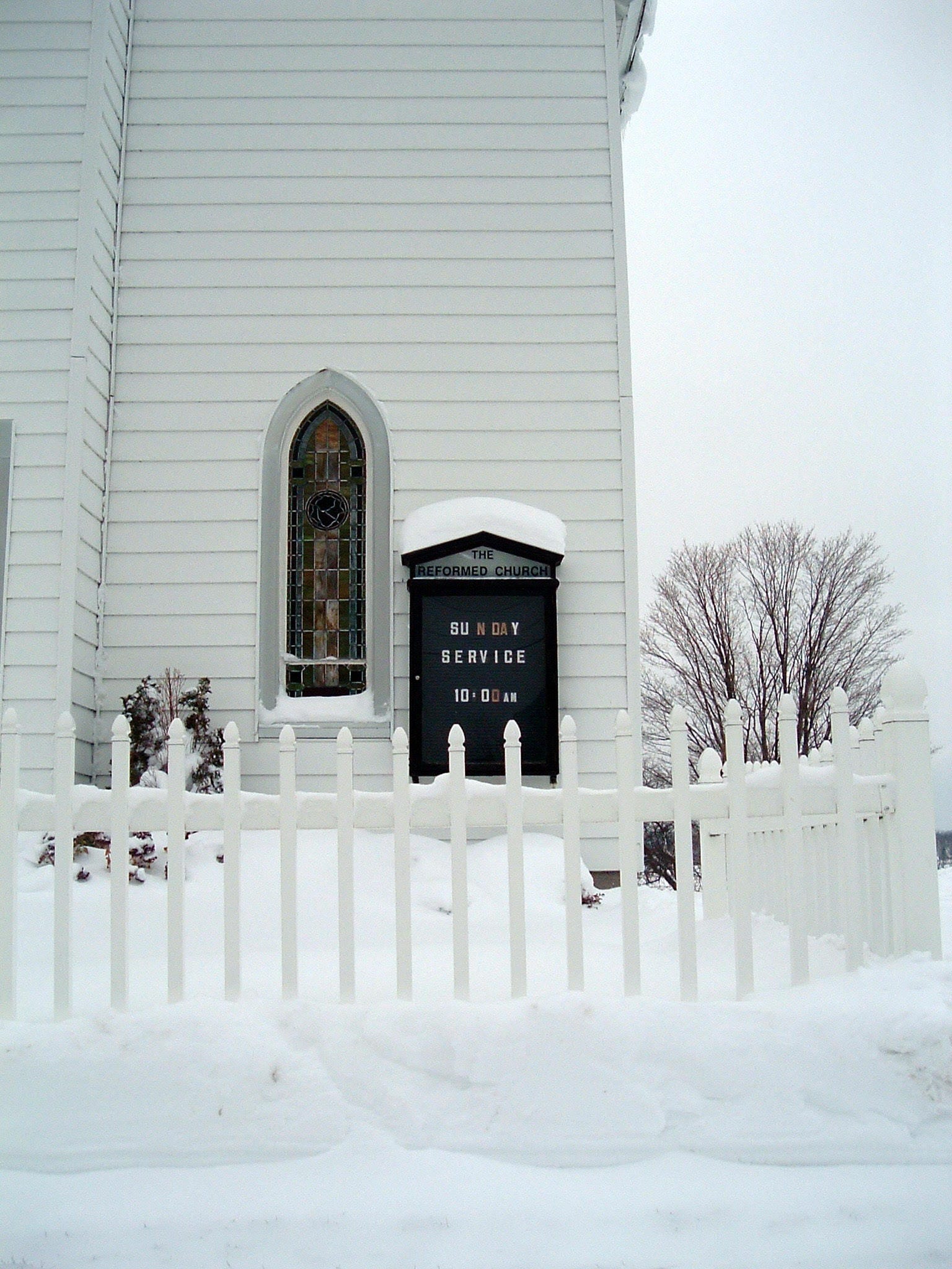
It’s easy to view lake effect snow as an odd curiosity if you live elsewhere. But lake effect is part of the fabric of society and culture in Upstate New York and elsewhere. It fuels the economy in some places, as snowmobilers and outdoor winter enthusiasts come from across the region to visit, recreate, and provide people a livelihood. Yes, some will deride it but others embrace it and try to make the most of the climate they call home. In hindsight, I did not love the lakes as much as I should have while living there. But they provide some of the most unique winter weather in the world. If you ever have an opportunity to visit Upstate New York or other areas of the lake effect belt in winter, you should, if only to experience the fury and beauty of this phenomenon.
I was an Iowa kid, so I know more about blizzards than lake effect snow, but this was a fascinating read; certainly there were plenty of similarities to note. I learned a good bit, too. I didn't know about the 'settling' effect, for example.
Your explanation of the importance of the gradients -- where one location gets feet of snow while others get only inches -- did bring to mind one central Iowa blizzard c. 1955. The drifts were enormous in some places. We were at my grandparents' house, where the snow piled up to mid-roof on the east and south sides, blocking the only doors. On the north side, the ground was utterly bare, with only a scattering of flakes. My dad went out a bedroom window, shovel in hand, and started the process of freeing us.